Mahalo North Environmental Authority (PL 1128) Application.
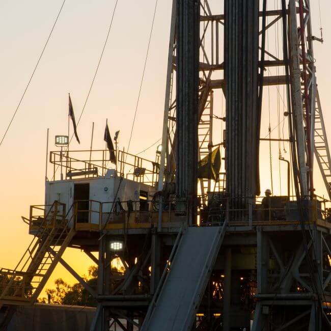
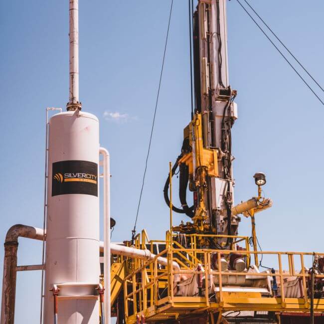
The Mahalo North Project (the project) involves a greenfield coal seam gas (CSG) development approximately 45 km north of Rolleston and 70 km southeast of Emerald, within the Central Highlands Regional Council Local Government Area of Central Queensland. The project is contained within Petroleum Lease (PL) 1128 application and covers an area of 14,000 hectares. The project’s life span is estimated to be 30 years and will supply the domestic Australian gas market.
The project includes the following key components:
-
- 68 CSG wells (using a combination of vertical and lateral wells)
- Gas and water gathering pipelines
- Gas compression facility
- New access tracks, with existing tracks used where possible
- Water management infrastructure
On 20 October 2023, a site-specific environmental authority (EA) application was submitted for the project to the Department of Environment, Science and Innovation (DESI), which is the administering authority of the EA application. The following documents were submitted as part of the EA application.
On 31st Jan 2024, Comet Ridge received an information request from DESI. This information request and Comet Ridge’s response (the information request response) is available further down this page, or by clicking this link.
![]() Public Notification Notice (includes details on how to make a submission on this application)
Public Notification Notice (includes details on how to make a submission on this application)
![]() Environmental Authority – Application Form
Environmental Authority – Application Form
![]() Environmental Authority Supporting Information Report
Environmental Authority Supporting Information Report
![]() Appendix A – Pre-Lodgement Advice from DES
Appendix A – Pre-Lodgement Advice from DES
![]() Appendix B – Water Management Plan
Appendix B – Water Management Plan
![]() Appendix C – Groundwater Impact Assessment Report
Appendix C – Groundwater Impact Assessment Report
![]() Appendix D – Ecological Assessment Report
Appendix D – Ecological Assessment Report
![]() Appendix E – Aquatic Values Assessment
Appendix E – Aquatic Values Assessment
![]() Appendix F – Desktop Assessment
Appendix F – Desktop Assessment
![]() Appendix G – Air Quality Assessment
Appendix G – Air Quality Assessment
![]() Appendix H – Noise Impact Assessment
Appendix H – Noise Impact Assessment
Figures associated with the application documents and appendices can also be found here:-
![]() Figure 3 – Project infrastructure layout
Figure 3 – Project infrastructure layout
![]() Figure 5 – Mapped site topography
Figure 5 – Mapped site topography
![]() Figure 7 – Mapped areas of regional interest
Figure 7 – Mapped areas of regional interest
![]() Figure 8 – Mapped surface geology
Figure 8 – Mapped surface geology
![]() Figure 12 – Mapped regional ecosystems and essential habitat
Figure 12 – Mapped regional ecosystems and essential habitat
![]() Figure 13 – Mapped groundwater dependent ecosystems
Figure 13 – Mapped groundwater dependent ecosystems
![]() Figure 14 – Mapped environmentally sensitive areas
Figure 14 – Mapped environmentally sensitive areas
![]() Figure 15 – Flora database records within 50km of the project area
Figure 15 – Flora database records within 50km of the project area
![]() Figure 16 – Fauna database records within 50km of the project area
Figure 16 – Fauna database records within 50km of the project area
![]() Figure 17 – Ground-truthed regional ecosystems
Figure 17 – Ground-truthed regional ecosystems
![]() Figure 18 – Ground-truthed gilgai habitat
Figure 18 – Ground-truthed gilgai habitat
![]() Figure 19 – Mapped Queensland waterways for waterway barrier works under Fisheries Act 1994
Figure 19 – Mapped Queensland waterways for waterway barrier works under Fisheries Act 1994
![]() Figure 20 – Mapped watercourses under Water Act 2000
Figure 20 – Mapped watercourses under Water Act 2000
![]() Figure 25 – Sensitive receptors
Figure 25 – Sensitive receptors
![]() Figure 27 – Registered groundwater bores and water licenses
Figure 27 – Registered groundwater bores and water licenses
Mahalo North Environmental Authority Application – Information Request
Mahalo North Environmental Authority Application information request notice and Comet Ridge’s response documents:
![]() Mahalo North Environmental Authority Application – Information Request Notice
Mahalo North Environmental Authority Application – Information Request Notice
![]() Responses to Mahalo North Pty Ltd A-EA-NEW-100521948 information request
Responses to Mahalo North Pty Ltd A-EA-NEW-100521948 information request
![]() Appendix A – Draft Environmental Management Plan
Appendix A – Draft Environmental Management Plan
![]() Appendix B – Progressing Mahalo Gas Hub Development
Appendix B – Progressing Mahalo Gas Hub Development
![]() Appendix C – Terrestrial Ecological Assessment Report
Appendix C – Terrestrial Ecological Assessment Report


Comet Ridge
ABN 47 106 092 577
Level 12, 410 Queen Street
Brisbane QLD 4000
GPO Box 798
Brisbane, QLD 4001

